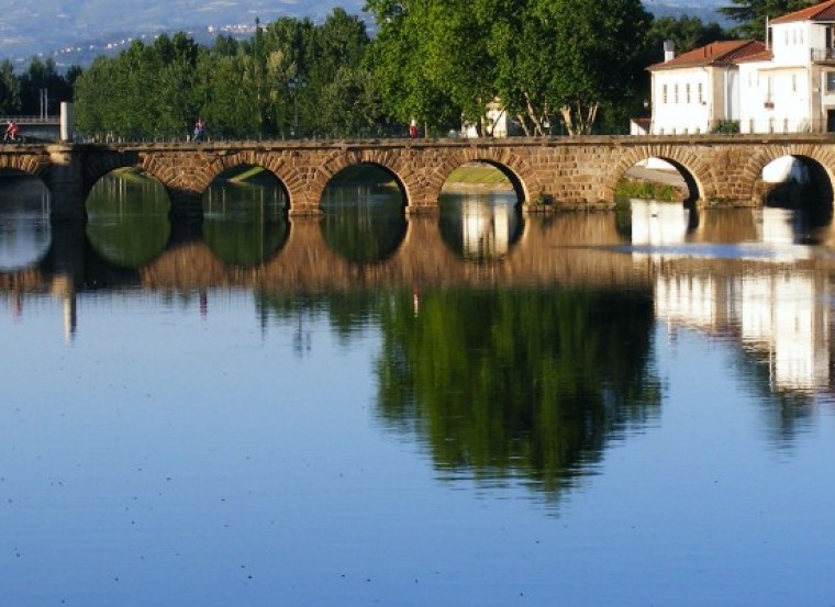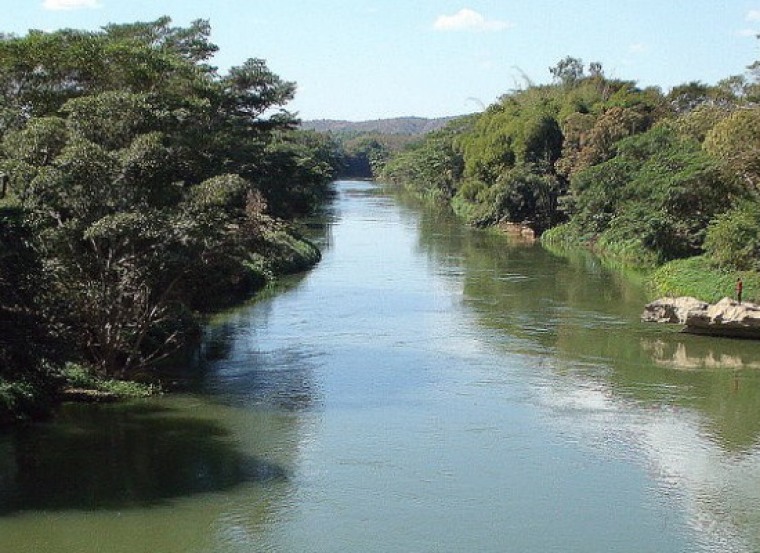
MyWater

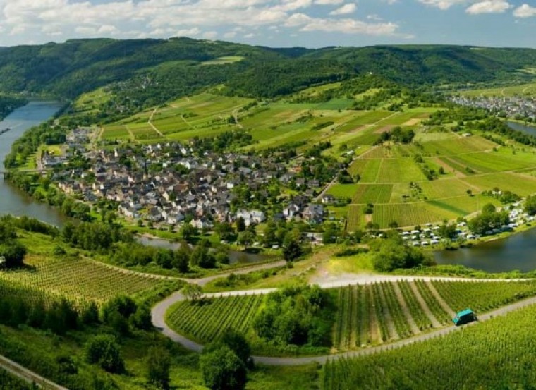
The availability of tools and services capable to help decision makers to gather the best information, in order to be able to take well supported decisions is of the major relevance. Also, the development of new approaches that may help to relate the hydromorphologic aspects and/or the physicochemical status with the ecological status, will introduce a major efficiency in the watershed monitoring programs with a corresponding reducing of costs. Project MyWater addresses these issues.
In MyWater, tools and services that may be useful to improve the knowledge on water availability and quality will be developed, targeted to watershed managers and users. These will fill a gap on water management and also give value to the GMES core service products. In this context the following actions will be performed:
- Development of grid models able to simulate the horizontal and vertical transport based on land core services that include Land Cover Land Use specification, Leaf Area Index (LAI) assessment, Actual Evapotranspiration (ETa) and Soil water content;
- Development of web-based data services for obtaining, sharing and publishing data;
- Development of technological MyWater platform to help users managing the data and evaluating the models results in a comprehensible way;
- Provision of support and training services fitted to the needs of different users.
MyWater project aim can though be summarized by the following sentence:
To develop and validate data-models approaches to supply access to multiple sources of data, in view of obtaining reliable information on watershed water availability and quality in different environments and with different technologic support.